Polestar pushes real-time navigation forward
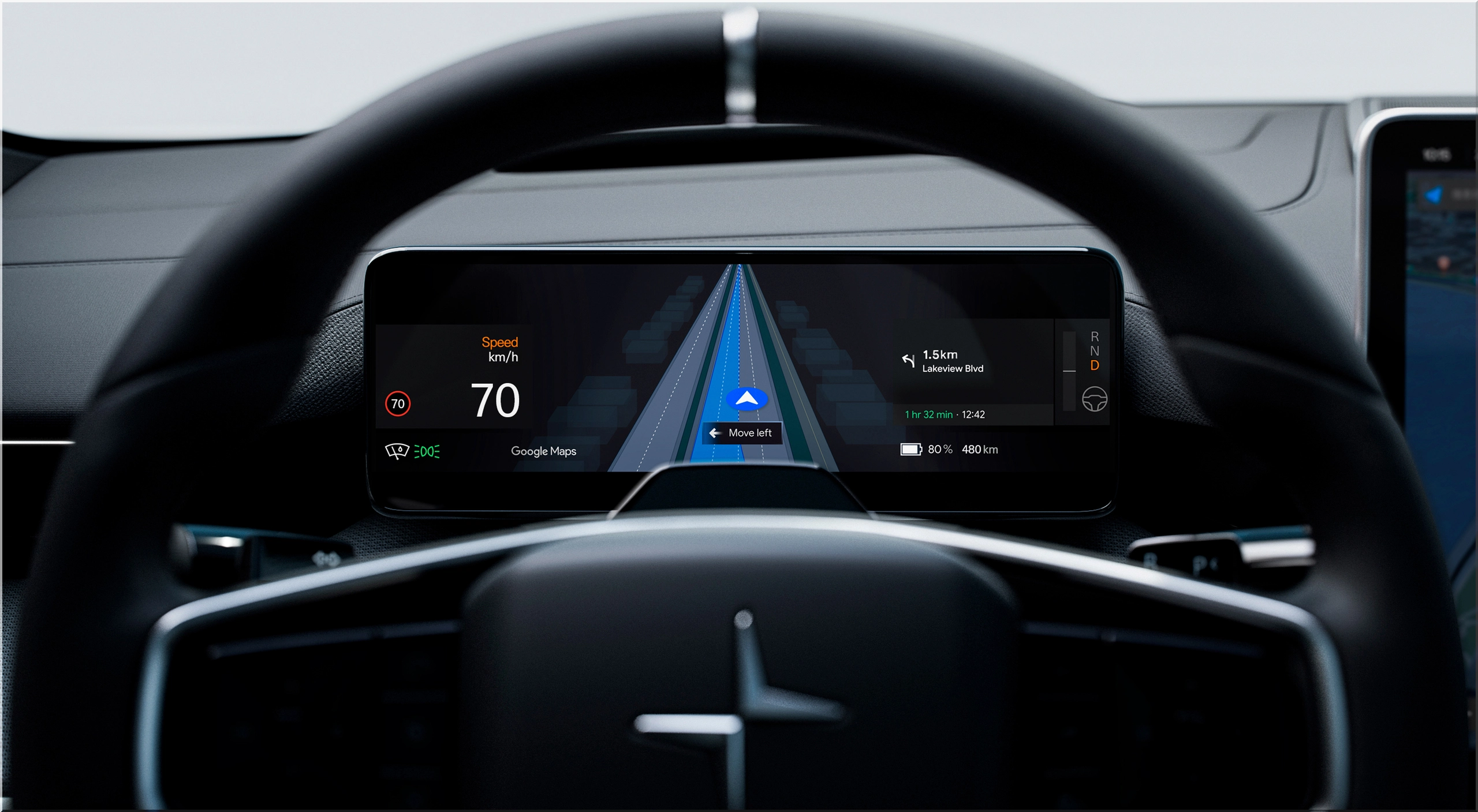
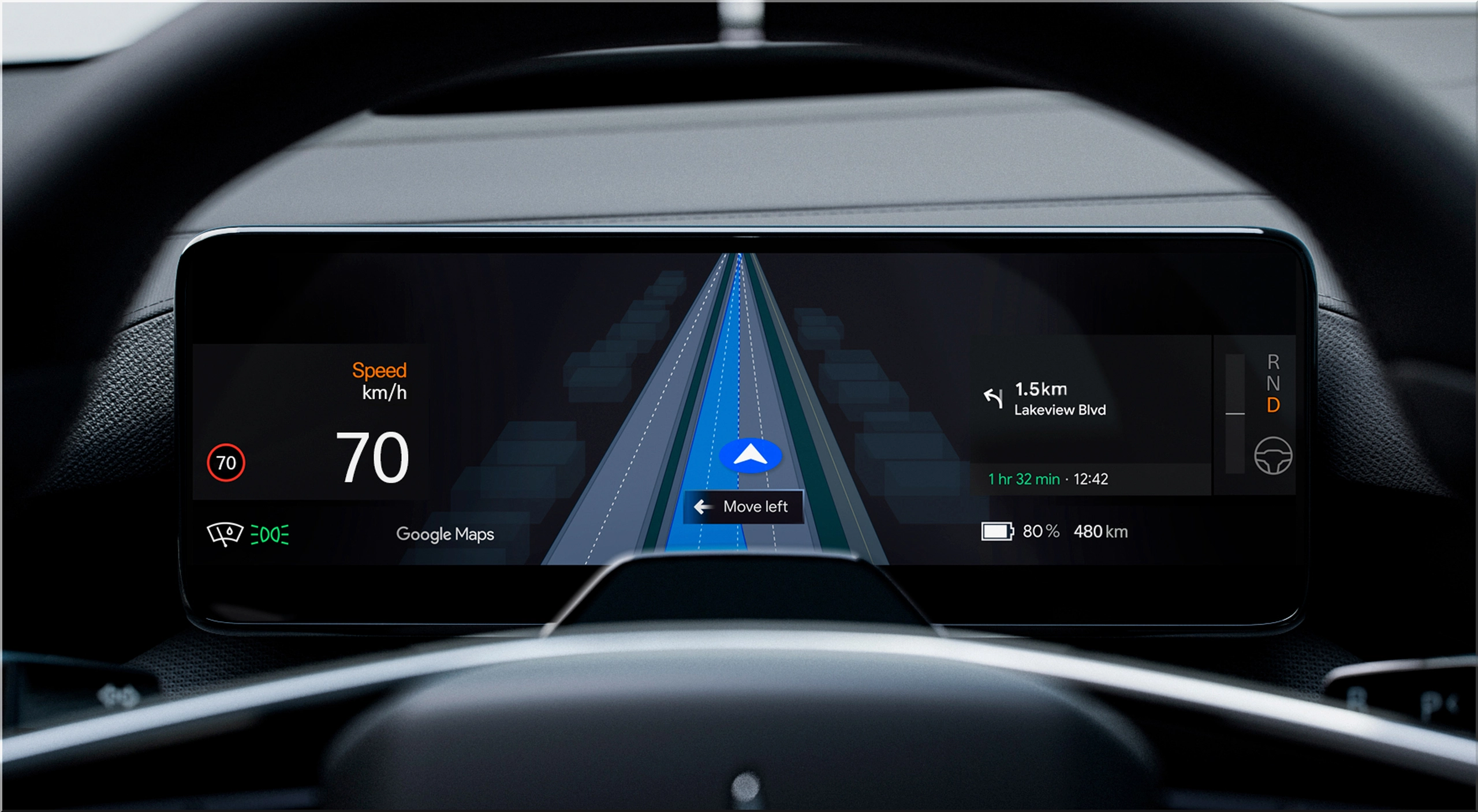
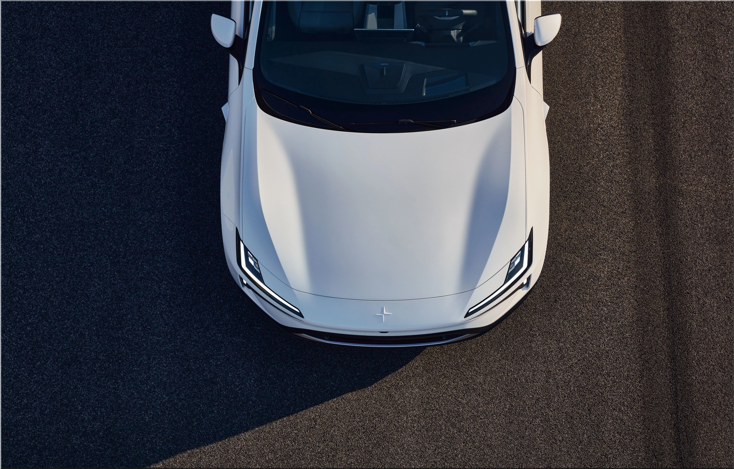
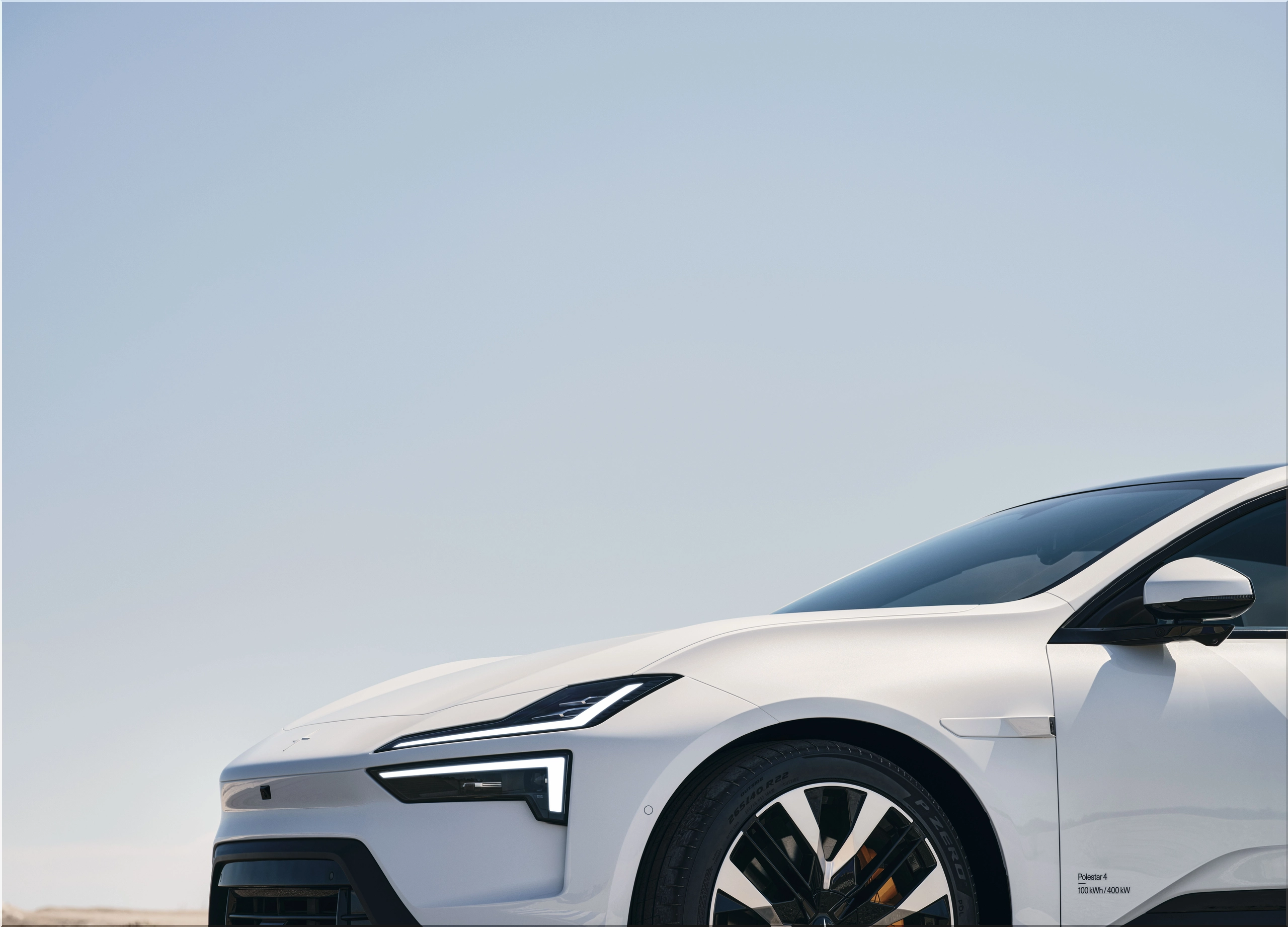
Polestar has become the first automaker to integrate Google Maps’ new Live Lane Guidance directly into a production vehicle. The feature debuts in the Polestar 4, delivering a real-time lane visualization on the car’s 10.2-inch driver display.
The feature uses Google’s onboard AI to detect the vehicle’s exact lane position by analyzing road markings, traffic signs, and camera data from the car’s forward-facing sensors. The goal: reduce driver stress and improve lane-changing accuracy in heavy traffic and complex highway systems.
According to Sid Odedra, Head of UI/UX at Polestar, the update fits directly into Polestar’s driver-centric UX strategy. “This feature simplifies quick lane decisions and reduces confusion on multi-lane highways,” Odedra said.
A technical partnership built on integration
Polestar’s collaboration with Google dates back to 2020, when the Polestar 2 became the first vehicle to feature a Google built-in system. The partnership has since produced a consistent pipeline of updates improving navigation, voice control, and in-car apps through Over-the-Air (OTA) updates.
Now, with Live Lane Guidance, Polestar is introducing a new visual layer to Google Maps. The system highlights all available lanes for a given route and identifies the one the vehicle currently occupies. Both visual and audible cues guide the driver through upcoming turns or exits.
This real-time feedback loop is designed to keep eyes on the road and reduce last-second corrections. For drivers navigating complex highway interchanges, the technology could save seconds that matter — and help prevent collisions caused by abrupt maneuvers.
AI-driven precision in real conditions
Unlike standard navigation overlays, Google’s Live Lane Guidance uses machine learning to interpret live camera feeds. It detects lane markings, signage, and environmental cues.
When paired with Polestar’s high-resolution driver display, the feature delivers a layered visualization — showing lane structure in relation to the vehicle’s position. Each lane is rendered as part of a 3D-like map projection, allowing drivers to anticipate where to move before the navigation prompts.
Key technical elements:
- Sensor fusion: Integrates video input from Polestar’s front cameras with Google Maps data.
- AI lane detection: Identifies lane markings in real time, even under moderate weather or lighting conditions.
- Predictive guidance: Highlights optimal lanes before a highway split or major interchange.
- OTA adaptability: Future updates can expand coverage to more countries and road types.
Initially, the system will roll out to Polestar 4 drivers in the U.S. and Sweden, with global expansion planned. Over time, Polestar expects to extend the feature to additional markets and possibly other models.